
Understanding settlement patterns in the United States helps kids learn why people choose certain places to live. In simple words, settlement patterns show how cities, towns, and villages are formed based on the environment around them. In 3rd grade social studies and United States geography, this topic is very important because it teaches students how water, land, weather, and natural resources affect where people live.
These SS.3.G.4.AP.1 environmental influences on settlement patterns in the United States worksheets make learning easy and fun for kids. Students begin to understand why people live near rivers, on flat land, or in places with comfortable weather. This knowledge helps children build strong geography skills and understand real-life connections about how and why communities grow in different parts of the United States.
You’ll find easy-to-understand study material and worksheets for this topic right below. These printables are perfect for 3rd grade social studies and United States geography, making learning simple and enjoyable. Go ahead and download them to help kids practice and better understand how the environment affects where people live in the United States.
What Are Settlement Patterns? (Easy Explanation for Kids)
Settlement patterns show how people choose places to live and build communities. In simple words, it means where cities, towns, and villages are located and how they are spread out. People choose where to live based on things like water, land, weather, and jobs. For example, many people live in cities for work, while others choose small towns or villages for quiet living. Understanding settlement patterns helps kids learn how the environment affects where people live in the United States.
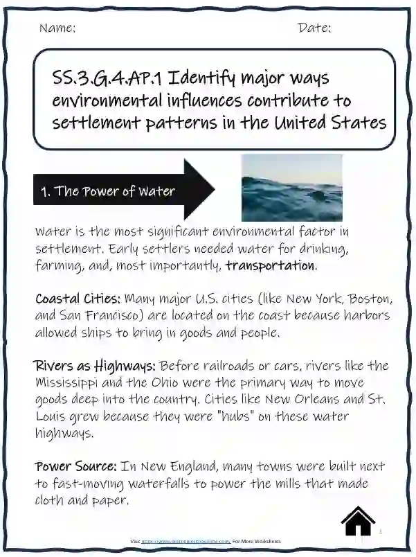
1. The Power of Water
Water is the most significant environmental factor in settlement. Early settlers needed water for drinking, farming, and, most importantly, transportation.
- Coastal Cities: Many major U.S. cities (like New York, Boston, and San Francisco) are located on the coast because harbors allowed ships to bring in goods and people.
- Rivers as Highways: Before railroads or cars, rivers like the Mississippi and the Ohio were the primary way to move goods deep into the country. Cities like New Orleans and St. Louis grew because they were “hubs” on these water highways.
- Power Source: In New England, many towns were built next to fast-moving waterfalls to power the mills that made cloth and paper.
2. Landforms: Mountains vs. Plains
The shape of the land determines how easy it is to build and travel.
- The Appalachian Mountains: Early in United StatesM history, these mountains acted as a “wall.” People settled mostly on the East Coast because crossing the steep, rocky terrain was too difficult.
- The Great Plains: This flat, open land was perfect for large-scale farming once the steel plow was invented. Because there were few natural barriers, settlements spread out in a “grid” pattern across the Midwest.
- Valleys: People often settle in valleys because they are protected from wind and usually have fertile soil washed down from the surrounding hills.
3. Climate and Survival
Climate refers to the long-term weather patterns of a region. It dictates what people wear, what they eat, and how they build their houses.
| Climate Type | Influence on Settlement |
|---|---|
| Temperate (Mild) | Most people choose to live here. The weather isn’t too hot or too cold, making it easy to live year-round. |
| Arid (Dry) | In the Southwest (like Arizona), settlements remained small until humans learned how to “irrigate” (move water) to the desert. |
| Cold/Harsh | Settlement patterns in the far North (Alaska) are sparse because the short growing season makes farming difficult. |
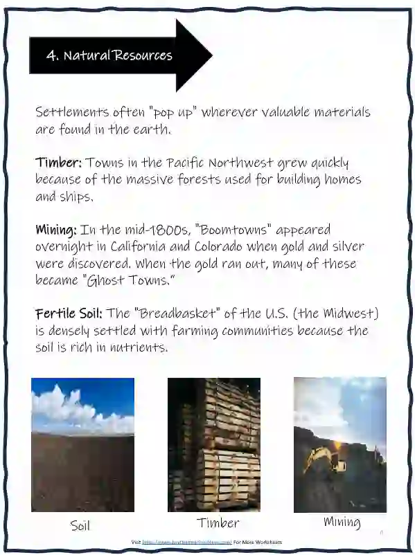
4. Natural Resources
Settlements often “pop up” wherever valuable materials are found in the earth.
- Timber: Towns in the Pacific Northwest grew quickly because of the massive forests used for building homes and ships.
- Mining: In the mid-1800s, “Boomtowns” appeared overnight in California and Colorado when gold and silver were discovered. When the gold ran out, many of these became “Ghost Towns.”
- Fertile Soil: The “Breadbasket” of the U.S. (the Midwest) is densely settled with farming communities because the soil is rich in nutrients.
Worksheet Practice Questions
Fill in the Blank
- Many early cities were built near _________ because it was the easiest way to transport goods.
- The _________ Mountains acted as a barrier that kept early settlers on the East Coast.
- A _________ is a town that grows very quickly because of a resource like gold.
- In the hot Southern states (the Sun Belt), the invention of _________ helped cities like Phoenix and Miami grow rapidly.
- Humans use _________ to move water from rivers to dry farm lands in the desert.
- Large walls called _________ are built across rivers to control flooding and generate electricity.
Short Answer
- Why would a farmer choose to settle in the Great Plains instead of the Rocky Mountains?
- If you were starting a new colony, would you rather build it on a coast or in the middle of a desert? List two reasons why.
- Why was the Flat Land of the Midwest (Great Plains) better for farming than the Rocky Mountains?
Critical Thinking Question:
1. Look at a map of the United States. Why do you think there are so many large cities along the Great Lakes?
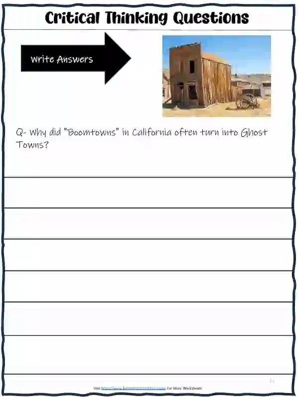
2. Why did “Boomtowns” in California often turn into Ghost Towns?
Multiple Choice Questions
Question 1. Which city became a “hub” for railroads because of its central location and flat landscape?
A) San Francisco
B) Chicago
C) New York
Question 2. Which region was settled quickly because of its massive Timber (forests) used for building ships and houses?
A) The Southwest Desert
B) The Pacific Northwest
C) The Appalachian Mountains
Ready for the full challenge? Download the complete worksheet pack with answer key! (Scroll down for Part 2)
Knowledge Booster
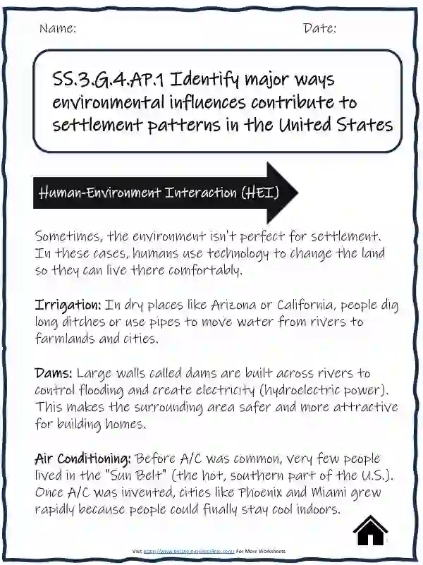
Human-Environment Interaction (HEI)
Sometimes, the environment isn’t perfect for settlement. In these cases, humans use technology to change the land so they can live there comfortably.
- Irrigation: In dry places like Arizona or California, people dig long ditches or use pipes to move water from rivers to farmlands and cities.
- Dams: Large walls called dams are built across rivers to control flooding and create electricity (hydroelectric power). This makes the surrounding area safer and more attractive for building homes.
- Air Conditioning: Before A/C was common, very few people lived in the “Sun Belt” (the hot, southern part of the U.S.). Once A/C was invented, cities like Phoenix and Miami grew rapidly because people could finally stay cool indoors.
2. Vocabulary Builder
These are the “Power Words” students need to know for this standard. You can turn this into a Matching Game on your worksheet.
| Term | Definition |
|---|---|
| Settlement | A place where people establish a community or a home. |
| Fertile | Soil that is rich in nutrients and great for growing crops. |
| Harbor | A sheltered area of water where ships can safely dock. |
| Barrier | A natural feature (like a mountain) that makes travel or building difficult. |
| Rural | Areas with low population, often focused on farming or nature. |
| Urban | Densely populated areas, like large cities. |
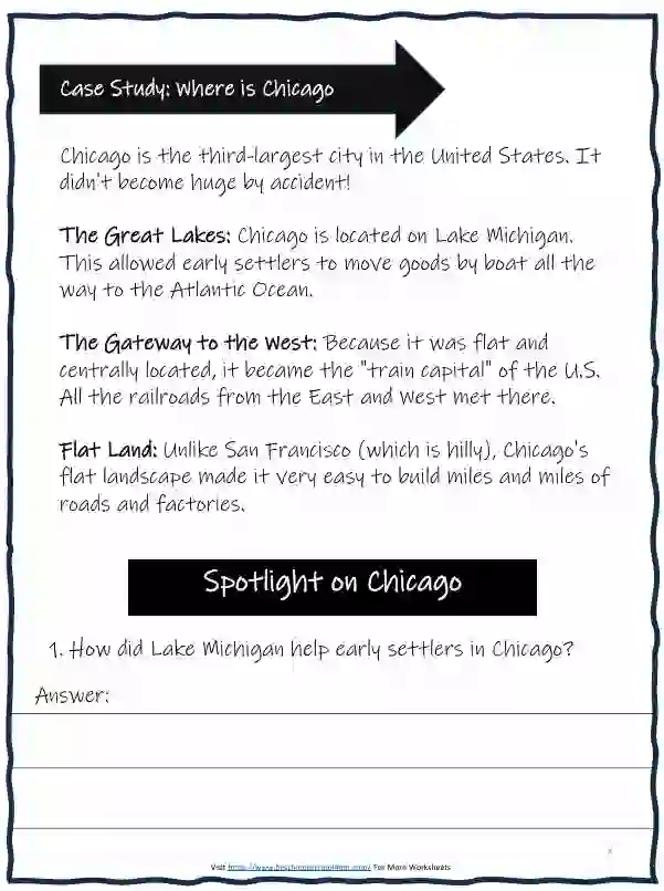
3. Case Study: Where is Chicago?
Chicago is the third-largest city in the United States. It didn’t become huge by accident!
- The Great Lakes: Chicago is located on Lake Michigan. This allowed early settlers to move goods by boat all the way to the Atlantic Ocean.
- The Gateway to the West: Because it was flat and centrally located, it became the “train capital” of the U.S. All the railroads from the East and West met there.
- Flat Land: Unlike San Francisco (which is hilly), Chicago’s flat landscape made it very easy to build miles and miles of roads and factories.
4. Additional Worksheet Activities
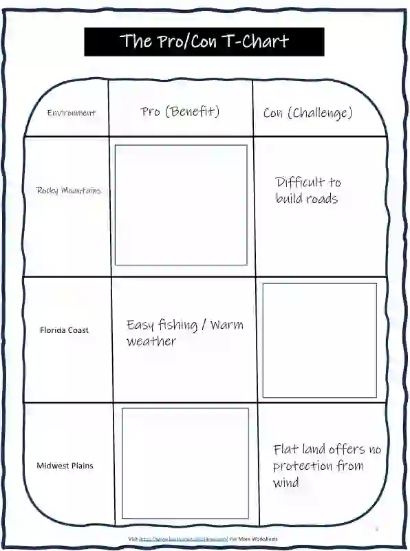
Activity: “The Pro/Con T-Chart” Have students list one benefit (Pro) and one challenge (Con) for settling in these environments (provided in the pdf)
Activity: “Be the Architect”
Draw a picture of a house designed for a very snowy environment (like Alaska) and a house designed for a very hot desert (like Nevada).
Hint for students: Think about roof shapes and window sizes!
Critical Thinking: Then vs. Now
Question: 200 years ago, most people lived near rivers. Today, many people live in the middle of the desert (like Las Vegas). What changed in technology that made this possible?
(Possible Answer: Indoor plumbing, refrigerated trucks for food, and air conditioning.)
The Essential Study Guide
(Distribute this as a “Cheat Sheet” for students to review before the worksheets.) (provided in the pdf)
Key Environmental Influences Fresh Water (The #1 Factor):
1. Why? People need water for drinking, cleaning, and farming.
2. Where? Almost every major U.S. city is near a river, lake, or ocean (e.g., St. Louis on the Mississippi River).
The Shape of the Land (Landforms):
Mountains: High, rocky peaks make it hard to build houses or roads. Most people live in the valleys or on the plains.
Plains: Flat land is easier to farm and build on. The Great Plains in the middle of the U.S. is where much of our food is grown.
Natural Resources:
Gold/Silver: In the 1800s, people rushed to California and Colorado to find gold.
Timber (Trees): Towns in Oregon and Washington grew because of the huge forests used for wood.
Fertile Soil: Farmers settle where the dirt is “rich” and can grow healthy crops.
Climate (Weather Patterns):
People generally prefer Temperate Climates (not too hot, not too cold).
Harsh Climates: Very few people live in the freezing parts of Alaska or the hottest parts of the Mojave Desert.
Map Logic & Choice
Instructions: Circle the best answer for each scenario.
Question- A group of settlers wants to build a town where they can easily trade goods with other countries by ship. Where should they settle?
A. In the middle of a desert
B. On a flat plain
C. Near a natural harbor on the coast
Question- Why are there fewer large cities in the Rocky Mountains compared to the East Coast?
A. It is too difficult to build roads and houses on steep, rocky land.
B. There is no sunlight in the mountains.
C. People in the 1800s didn’t like the view.
Question- Which resource most likely caused a “Boomtown” to appear in the mountains of Colorado?
A. Saltwater
B. Gold and Silver
C. Palm trees
Question- If a farmer wants to grow 1,000 acres of corn, which landform would be the best choice?
A. A deep canyon
B. A high mountain peak
C. A flat plain
True or False?
Instructions: Write T if the statement is true and F if it is false.
- _________Early settlers moved to the Appalachian Mountains because they were easy to cross.
- _________ Air conditioning helped more people move to hot, southern states like Florida and Arizona.
- _________ Most major U. S. cities are located far away from any water source.
- _________ Fertile soil is a natural resource that attracts farmers to the Midwest.
- _________ “Human-Environment Interaction” means people can change the land to help them live there.
The “Settlement Explorer” (Creative Writing)
Scenario: You are an explorer in the year 1850. You have found three different locations to build a new town. Choose one and explain why it is the best choice based on the environment.
Location A: A thick forest next to a fast-moving river.
Location B: A flat, grassy area with no trees and very little rain.
Location C: A high mountain top with lots of snow but a great view.
My Choice: Location _
Reason 1 (Water/Food): ___________________________________________________
Reason 2 (Building/Travel): ___________________________________________________
The Great Settlement Challenge
Goal: Use environmental clues to decide where to build a town.
Instructions: Below is a description of a new, unexplored land. Read the clues and mark the best spot on your “imaginary map” (or describe it below).
The Land Features:
The North: High, jagged mountains covered in thick snow. No plants grow here.
The East: A deep-water ocean with a curved coastline that protects ships from wind.
The West: A wide, flat prairie with dark, rich soil.
The Center: A large, fresh-water lake that flows into a river heading South.
The Task:
1. Where would you build a port for trading with other countries? (North, East, West, or Center?) Why?
2. Where would you build a large wheat farm? (North, East, West, or Center?) Why?
3. Why is “The North” the worst place for a large city?
Nature vs. Technology (Exploration)
Goal: Understand how technology helps humans “beat” the environment.
Instructions: Match the Environmental Problem to the Human Solution. Then, answer the exploration question.
The Exploration Question:
1. Think about your own town or city. Is there a piece of technology (like a bridge, a heater, or a drain) that helps people live there even when the weather or land is difficult?
The Feature: ________________________________________
How it helps: _______________________________________
The “Why There?” Postcard
Goal: Connect environmental resources to specific U.S. history events.
Instructions: Imagine you are a settler in the 1800s. Choose one of the three “Destination Stamps” below and write a short 2-sentence postcard to your family explaining why you chose to live there based on the environment.
Option A: San Francisco, California (The Gold Rush) – Environment: Near the ocean, close to mountains filled with gold.
Option B: The Great Plains (The Homesteaders) – Environment: Thousands of miles of flat, treeless land with perfect soil for corn.
Option C: The Mississippi River (The Traders) Environment: A massive river that connects the North to the South for steamboats.
Your Postcard:
Dear Family,
I have decided to settle in (Circle One: Option A / B / C). I chose this place because the environment provides ______________________________________________________. This will help me be successful because ______________________________________________________.
From, ______
Bonus Activity: The “Lemonade Stand” Geography Test
If you want to test their knowledge quickly, ask this:
“If you were opening a lemonade stand, would you put it on a quiet mountain trail or at a busy harbor where ships land? Why does the environment of the harbor help your business?”
(Answer: The harbor has more people (settlement pattern) because water allows for easier travel and trade.)
Take the next step, Download the full worksheet pack with answers for easy learning!
Download settlement patterns in the United States Pdf
- Download free Bible coloring pages and make learning God’s Word fun and creative for kids!
- Free Masyumaro coloring pages perfect for rainy days or quiet time
- Download Free Fruit of the Spirit: Faithfulness Worksheets and make learning God’s Word fun for kids!
- Grab your free Cursive Writing Paragraph Worksheets now
- Cursive Writing Worsheets
- Exciting Christmas Games to Play with Your Class This Holiday Season!
- Lots of Fun Bluey Coloring Pages For Kids
- Fun and engaging Dr. Seuss activities for kids that make learning creative, playful, and full of imagination!
- Fun and engaging Thanksgiving activities and worksheets for 5th Graders to celebrate, learn, and enjoy the holiday with creativity!
- Fun and challenging count the triangles worksheets and activities for kids to boost observation and problem-solving skills!
- Printable Cursive Words Worksheets PDF for Kids (Free Download)
- Download ALL *LATEST* Practice Sheets For Kids
- FREE Personal Goal Development Worksheets (Printable)